Apps
Dynamic studies of land occupation.
The study of Land Occupation has shown itself to be effective in generating territorial diagnoses, analyses and forecasts. Large datasets, as in the case of SIOSE, made it possible to understand the synergies between the key Land Occupation, land uses and land cover parameters. Likewise, the study of changes in land use and/or land cover is one of the key indicators for the analysis of the past, present and future states of any natural or anthropic system.
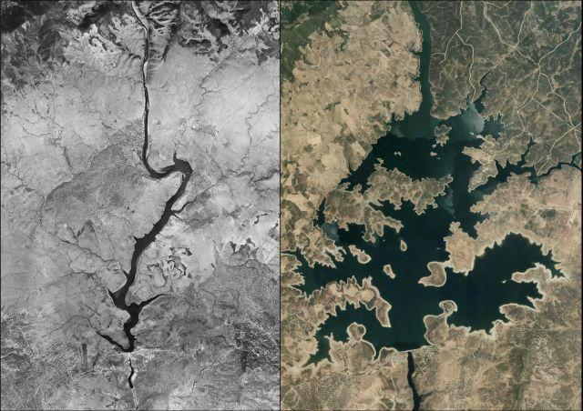
Image: comparison of aerial images before and after the construction of a reservoir.
Analysis and evaluation of territorial processes
There are a multitude of processes linked to territorial and landscape dynamics, which all have the initial states of land use and land cover in common. Regardless of their origin (anthropic or natural), the Land Occupation databases and datasets make it possible to characterise, for subsequent evaluation, processes linked to the dynamics of:
- Desertification: studies of vegetation and water cover as well as their associated uses over time. Evaluation of gains, losses and/or persistence.
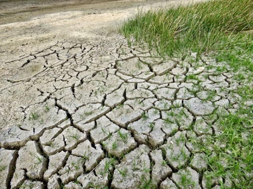
Image: soil cracked due to desiccation
- Soil sealing: analysis of construction dynamics and soil sealing. Calculation of current sealing surfaces and their temporal evolution.
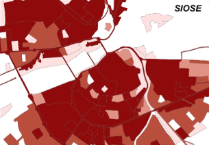
Image: soil sealing query from SIOSE
Applications in studies of Natural Hazards
Many of the natural phenomena with a high risk component are directly related to human socio-economic activities and development. In order to quantify and evaluate the economic and/or social impact of these phenomena, land occupation databases and datasets serve as a useful sector planning tool in relation to the study of land use and land cover. This is important for the assessment of risks such as floods, forest fires, earthquakes, landslides, subsidence, droughts and other adverse phenomena.
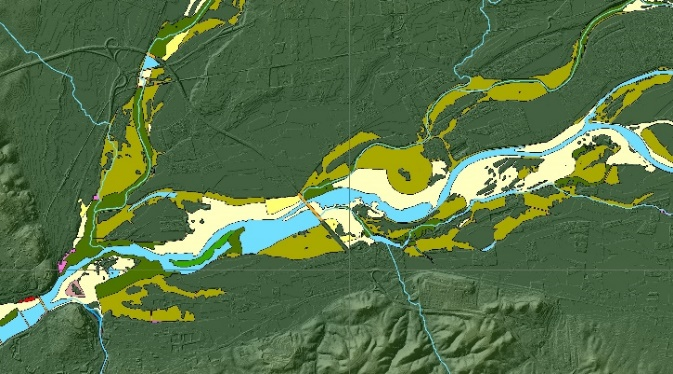
Image: detection of potentially flood-prone areas by land use.
Spatial Planning and Management and Sustainable Territorial Development
All Land Management and Planning processes must include the study, analysis and evaluation of land use and land cover. Therefore, knowledge of the space allows better diagnoses to be made in order to tackle any type of problem and/or provide solutions aimed at creating a planned and territorially sustainable space for its management, exploitation and/or conservation.
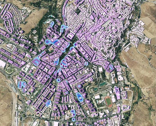
Image: location of buildings by number of floors and density analysis by proximity.
Urban planning
Thanks to the availability of a multitude of classes associated with construction elements, SIOSE can be used to analyse and study in depth aspects related to urban design processes. Analysis of built-up areas, areas under construction or building typologies are some of the elements subject to consultation and analysis for their application in studies or consultancy.
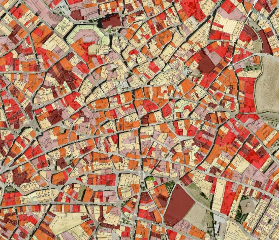
Image: characterisation of urban core buildings by construction attribute.
Environment
The dynamic nature of land occupation results in continuous environmental changes. This is why the availability of consultations and analyses related to environmental parameters enriches any methodology aimed at obtaining Environmental Impact Assessments and environmental indicators of all kinds, maintaining and observing ecological stability or integrating environmental models.
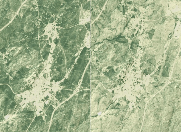
Image: comparison of vegetation index between different dates.


