Global Systems
Global land occupation information is mainly characterised by its heterogeneity and the lack of a clear predominance of a basic project that provides data in a consensual and continuous manner over time.
The available datasets are usually of medium or small scales, generated by automatic image processing, mainly by classifications. The data offered have basic and reduced class ranges, always of land cover and never of land use. And their update frequencies are equally irregular due to lack of resources or global interest. Fortunately, in most cases they are easily accessible, downloadable and usable data.
Global land cover systems comprehensively cover all types of land cover classes together (man-made, agricultural, forest, natural and water). Of particular importance are the more recent and more detailed products, such as Global Land Cover from ESA, JRC and EEA; MODIS Land Cover from USGS (United States Geological Survey); and GlobeLand30 from NGCC (National Geomatics Center of China).


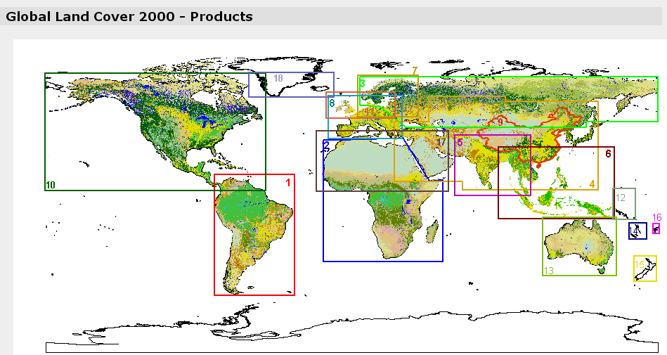
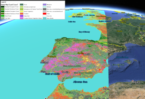
Diagram of existing GLC2000 blocks and example of Global Land Cover data for the Iberian Peninsula loaded into Google Earth.


