Priority Areas Monitoring
The in situ component is coordinated by the European Environment Agency (EEA) and and provides local products defined by areas of interest prone to specific environmental challenges and problems regarding land occupation and its temporal evolution. They are based on very high resolution images (2.5 x 2.5 m pixels) in combination with other available datasets (high and medium resolution images) in the Pan-European component. Their scale is between 1/10,000 and 1/15,000.
The National Geographic Institute (Ministry of Transport, Mobility and Urban Agenda) verified priority áreas products for versions 2012-2018 based on national reference sources including SIOSE, PNOA, LIDAR, Forest Map and geographic reference information (hydrography, populations) among others.

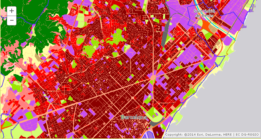
Urban Atlas 2012
Vector database of urban areas across Europe with a population of more than 50,000 inhabitants. Verified and improved by the NGI/NGIC at the Spanish level. see +


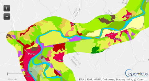
Riparian Zones 2012
Vector database of land occupation in riparian areas of Europe verified by the NGI at the Spanish level. see +


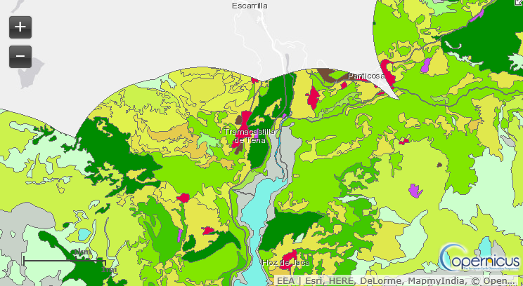
Natura 2k 2012
Vector database on land occupation in environmental protection areas in Europe verified by the NGI at the Spanish level. see +


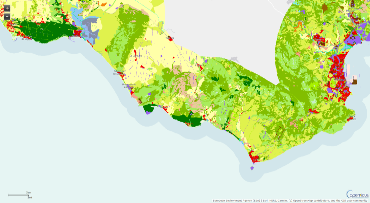
Coastal Zones
Vector database on land occupation in coastal zones in Europe verified by the NGI at the Spanish level. see +

Urban Atlas 2012
Close
It provides highly detailed land occupation and land use vector databases of Copernicus-designated urban areas throughout Europe with a population of more than 50,000 inhabitants (Functional Urban Areas - FUA). Its minimum unit of resolution is 0.25 ha for urban areas and 1 ha for rural areas, using a nomenclature of 27 classes (17 urban and 10 rural). There are 2006 and 2012 versions. In the 2012 version there are a total of 785 FUAs at European level. They are produced centrally by the EEA and verified and/or improved by the member states, in the case of Spain by the NGI/NGIC.
Riparian Zones
Close
It provides highly detailed vector land occupation databases of riparian zones for the most important watercourses. They represent transitional areas occurring between land and freshwater ecosystems. They provide a wide range of riparian functions (e.g. chemical filtration, flood control, bank stabilisation, aquatic life and riparian wildlife support, etc.) and ecosystem services.
Riparian Zone products will support the objectives of several European legal acts and policy initiatives, such as the EU Biodiversity Strategy 2020, the Habitats and Birds Directives and the Water Framework Directive.
Its minimum unit of resolution is 0.25 ha and it makes use of a hierarchical nomenclature of 4 levels and 80 classes. The 2012 version is available. They are produced centrally by the EEA and verified and/or improved by the member states.
Natura 2000
Close
Natura 2000 is a European network of environmental protection areas established by the Habitats Directive in 1992 and represents a cornerstone of European nature and biodiversity policies. Copernicus provides highly detailed vector-based land occupation databases of a selection of Natura 2000 areas. Its minimum unit of resolution is 0.25 ha and it makes use of a MAES and CLC nomenclature with a total of 62 classes. The 2006 and 2012 versions are available. They are produced centrally by the EEA and verified and/or improved by the member states.
Coastal Zones
Close
Coastal zone vector databases for the reference years 2012 and 2018. Provides a detailed LC/LU dataset for areas along the marine coastline of the EEA39 countries. In addition to the coast, the areas of interest include 10 km inland buffer zones. The total area covered on land along the entire European coastline is approximately 715,000 km². Seventy-one thematic classes are differentiated.
Product overview
| Copernicus product | Producer | Verification | Geometry | Versions | Resolution |
|---|---|---|---|---|---|
| Urban Atlas 2012 | AEMA | Member States | Vector polygons | 2006, 2012, 2018, 2021 | 0.25 ha |
| Riparian Zones | AEMA | Member States | Vector polygons | 2012, 2018 | 0.25 ha |
| Natura 2000 | AEMA | Member States | Vector polygons | 2006, 2012, 2018 | 0.25 ha |
| Coastal Zones | AEMA | Member States | Vector polygons | 2006, 2012, 2018 | 0.25 ha |
Summary table of main in situ component datasets


