Pan-European Products
The Pan-European component provides continent-wide products on land occupation and their temporal evolution. It is coordinated by the European Environment Agency (EEA). Its products are:
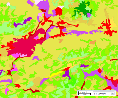
CORINE Land Cover 2018
1:100.000 scale vector database on the land occupation of Europe produced by the NGI at the Spanish level. see +

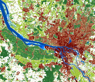
HRL 2015
Raster database of the main land cover attributes of Europe verified by the NGI at the Spanish level. see +

CORINE Land Cover
Close
On 27 June 1985, following a decision of the Council of the European Union (EC/338/85), "an experimental project for the collection, coordination and the consistency of information on the state of the Environment and of the natural resources in the Community" was launched: this was the CORINE Programme (Coordination of Information of the Environment). In 1990, the Council of the European Union decided to create the European Environment Agency and establish an Environmental Information and Observation Network (EIONET). The aim of EEA is to provide the European Union and the Member States with reliable and comparable information at the European level to enable the development of policies and criteria for environmental protection, and to make this information available to all potential users. CORINE became the responsibility of the EEA in 1995. In October 1995, the EEA set up the European Topic Centre Land Cover (ETC/LC) to provide technical support to the EEA for the completion, development, maintenance and updating of the Land Cover databases. With the establishment of the Copernicus Programme in 2014 and the EEA coordination of the Land Service, CORINE becomes an integral part of the Land Service and its Pan-European Component.
The main objective of the CORINE Land Cover (CLC) project is the creation of a 1:100,000 scale land occupation database for Europe with established homogeneity guidelines for the whole of Europe (same specifications, same scale and thematic classes), a comparable reference date for the whole of Europe, produced by the member states and coordinated by the EEA.
Its technical characteristics include the following:
- Reference scale equal to 1:100,000. Vector information system with a single layer of polygons. Minimum unit of 25 ha. Minimum unit of change 5 ha. Minimum polygon width 100 m.
- Versions: 1990, 2000, 2006, 2012 and 2018
- Update frequency 6 years.
- 44 land occupation classes structured in a three-level hierarchical nomenclature.
- Production by assisted photo-interpretation on satellite reference images. Landsat 5 (1990), Landsat 7 (2000), SPOT 4/5 and IRS (2006), IRS and Rapid Eye (2012), Sentinel 2 (2018).
The National Geographic Institute (Ministry of Transport, Mobility and Urban Agenda) is entrusted with the coordination of the CORINE Land Cover production in Spain.
This production was carried out by traditional photo-interpretation from the reference images in the 1990, 2000 and 2006 versions of the CLC. However, since the existence of more detailed land occupation data at the national level from the SIOSE project, the production of CLC 2012 and CLC 2018 has been carried out by a productive bottom-up approach using geometric and semantic generalisation of SIOSE at a scale of 1:100,000. This ensures a better coincidence in the data and statistics of both projects, transmission of national knowledge to continental data and a reduction of efforts and costs.
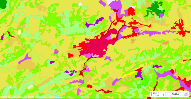
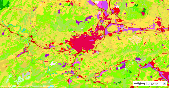
SIOSE transformed to CLC nomenclature without generalisation (left) and CLC obtained by generalisation (right).
The future viability of the CORINE Land Cover project is assured as it provides fundamental data for the understanding of the territory, as well as having a temporal chain of versions dating back to 1990, which is very useful for the study of the territorial dynamics. However, for some years now, there has been an increased demand for geometric and thematic detail, mainly by national users. This has led to a new paradigm for the CORINE Land Cover project, with the EEA and the international expert group EAGLE being responsible for its development and evolution.
Some of these limitations of CORINE Land Cover were already detected by the Spanish users in the CLC 2000 version, so it was decided to extend the number of classes of the nomenclature from 44 to 85, reaching a total of 5 hierarchical levels. However, the results of this experience were not as satisfactory as expected and were not repeated. This implied the creation of a new land occupation project, more detailed in geometry and thematics´, the SIOSE.
High Resolution Layers (HRL)
Close
They provide specific information on land cover characteristics and function as a complement to other Copernicus products such as CORINE Land Cover. HRLs are classified images (.tiff), with a 20 m resolution, derived by automatic and interactive processing of satellite imagery.
They are a set of images, at present, on five land occupation variables: Imperviousness, Tree Cover Density and Dominant Leaf Type, Grassland, and Water and Wetness. They are produced centrally by the EEA and verified and/or improved by the member states. Depending on the layer, there are versions for the years 2006, 2009, 2012, and 2015.
The National Geographic Institute (Ministry of Transport, Mobility and Urban Agenda) verified the HRLs 2012-2015-2018 with national reference sources including SIOSE, PNOA, LIDAR and geographic reference information (hydrography, populations).
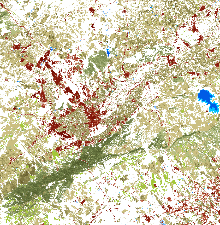
Example of HRLs in Spain
Product overview
| Copernicus product | Producer | Verification | Geometry | Versions | Resolution |
|---|---|---|---|---|---|
| CORINE Land Cover | Member States | AEMA | Vector polygons | 1990, 2000, 2006, 2012, 2015, 2018, 2024 | Minimum polygon size 25 ha |
| CLC+ | AEMA | AEMA / Member States | Vector, raster and grid | 2018, 2021, 2023 | Minimum polygon size 0.5 ha, pixel 10 m, grid 100 m |
| High Resolution Layers | AEMA | Member States | Raster | 2012, 2015, 2018, 2021, 2023 | 5 m, 10 m, 20 m |
Summary table of main Pan-European component datasets


